
Like Sentinel-1, Sentinel-3 is a constellation of two satellites which form part of the Copernicus programme, designed to provide accurate, timely and easily accessible information on the environment. Sentinel-3 is primarily an ocean mission, however, it also has atmospheric and land applications.
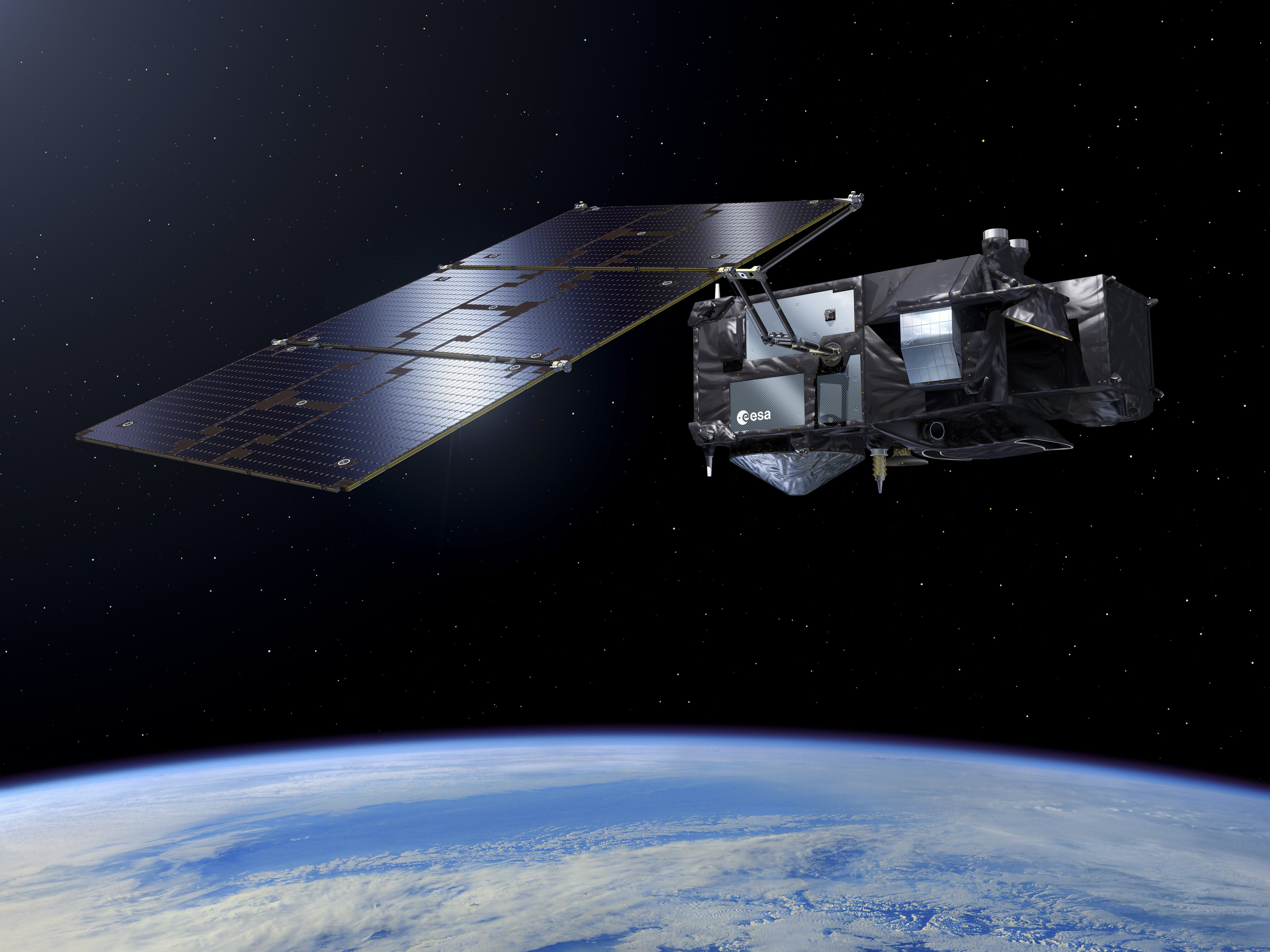
Sentinel-3. Credit: ESA
The Sentinel-3 satellites carry a suite of cutting-edge instruments which allow them to systematically measure the Earth’s oceans, land, ice and atmosphere, and provide essential information in near-real time for ocean and weather forecasting. As well as measuring the temperature, colour and height of the sea surface, Sentinel-3 will for example measure sea ice thickness and also provide enhanced continuity of satellites such as Envisat and SPOT.
CPOM researchers have been working to establish Sentinel-3’s potential for monitoring the Antarctic Ice Sheet, complementing the measurements made by CryoSat-2 and other missions. Their study revealed that, at a test site, Sentinel-3 was able to detect the height of the ice surface to within tens of centimetres, and could also detect where the ice surface was rapidly lowering.
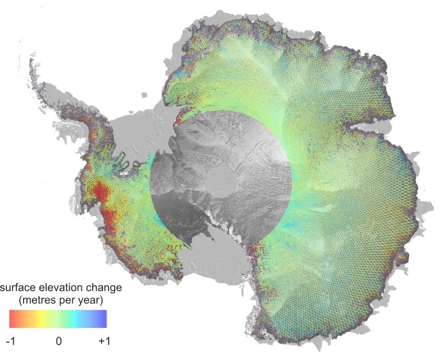
Antarctic Ice Sheet elevation change mapped by Copernicus Sentinel-3A between 2016 and 2018. Contains modified Copernicus Sentinel data (2018)/processed by CPOM/McMillan