How satellite altimetry is improving projections of Antarctic ice loss
19th March 2026
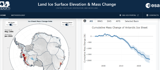
A study published in Geophysical Research Letters on 09 March 2026 projects that by 2067, ice loss from Thwaites Glacier in West Antarctica could be 180-200 billion tons of ice per year, almost the current annual losses from the entire Antarctic ice sheet.
The study, led by Dr Dan Goldberg (University of Edinburgh) with co-authors Professor Noel Gourmelen (University of Edinburgh) and Professor Mathieu Morlighem (Dartmouth), tested two independent ice sheet models (STREAMICE and ISSM), training them using two types of satellite observation: velocity change from interferometry, and surface elevation data from altimetry missions.
The research found that calibrating models solely using surface elevation change data produced volume change predictions which were ten times more accurate than those using ice speed data. This shows the choice of calibration method has a significant effect on long-term projections.
Goldberg, D. N., Morlighem, M., & Gourmelen, N. (2026). Recent observations of Thwaites Glacier, West Antarctica are consistent with high rates of loss in next 50 years. Geophysical Research Letters, 53, e2025GL118823. https://doi.org/10.1029/2025GL118823
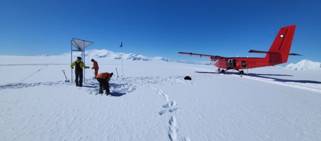
News feature image credit: Professor Andrew Shepherd