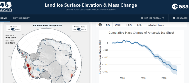
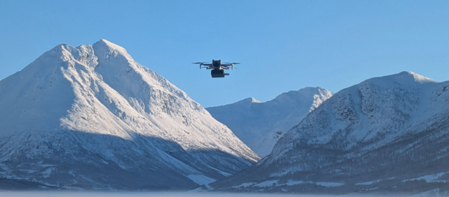
Over recent decades, scientists have tracked ice loss in Antarctica through satellite missions, but satellites cannot monitor what is happening at bedrock level below the ice, or under ice shelves, where rapid changes are being driven by interactions between the ice and ocean.
The report identifies that gathering more direct observations of coastal bed topography and sub-ice shelf cavities could support more accurate ice sheet modelling.
CPOM’s Professor Andrew Shepherd, Dr Inès Otosaka and Dr Tom Slater (Northumbria University) contributed a chapter on current understanding of ice sheet mass balance.
“Advances in satellite technology allow us to reliably track Antarctic mass change. But satellites cannot see beneath the ice to the bedrock below or to the ocean cavities under the floating ice shelves, both of which ultimately control how fast ice flows into the sea. This gap between what we can measure from space and what ice sheet models need to know about Antarctica’s coast is one of the primary sources of uncertainty in sea level projections. The good news is that this is a solvable problem. Internationally coordinated surveys, exactly like those set out by the RINGS report, can close these knowledge gaps. That matters at a time when tighter Antarctic sea level projections are essential for planning effective coastal adaptation and defence strategies”.
Dr Tom Slater
Research Fellow: Land Ice Earth Observation CPOM/Northumbria University
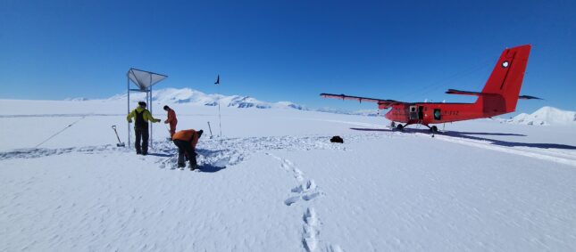
The authors of the report call for international coordination of Antarctic coastal surveys to ensure the collection of consistent and comprehensive data to ensure we can continue to improve our projections on sea level rise.